Property tools
Property 25B-0-130
- Location
- 9 SIMMONS RD
- Account number
- Parcel ID
- 25B-0-130
Current property mailing address
- Owner
- LUDWIG, JOANNE M-TRUSTEE
EVA A CARDILE IRREVOC TRUST - Address
- C/O 9 SIMMONS RD
- City
- NAHANT
- State
- MA
- ZIP
- 01908
- Zoning
- R2
Current property sales information
- Sale date
- 9/14/2007
- Sale price
- $1
- Legal reference
- B452-C80903
- Grantor (seller)
- CARDILE, EVA A ,TRUSTEE
Current property assessment
| Metric | Card 1 | Total parcel |
|---|---|---|
| Year | 2026 | |
| Building value | 269,700 | 339,500 |
| Extra features value | 500 | 500 |
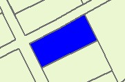
| Land area | 0.15365 acres | |
| Land value | 423,400 | 423,400 |
| Total value | 693,600 | 763,400 |
Narrative description
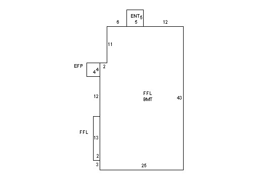
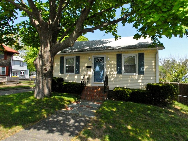
This property contains 0.15365 acres of land mainly classified as MULT HS with a(n) RANCH style building, built about 1920, having VINYL exterior and ASPHALT roof cover, with 0 commercial unit(s) and 1 residential unit(s), 5 total room(s), 3 total bedroom(s), 1 total bath(s), 0 total half bath(s), 0 total 3/4 bath(s).
Property images